GOES-R Surface and Insolation Products
GSIP
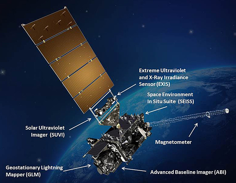 GOES-R satellite illustration
GOES Surface and Insolation Products - The GOES Surface and Insolation Products (GSIP) is a high spatial resolution (1/8 x 1/8 degrees) solar radiation product estimated from the GOES-East and -West Imager radiance measurements hourly for the Extended Northern Hemisphere scan sector and every three hours for the Full Disk scan sector. The products contain upwelling and downwelling shortwave (0.2-4.0 micrometers) and visible (0.4-0.7 micrometers) radiative fluxes at the top of the atmosphere and at the surface, cloud fraction and skin temperature. In addition to these primary products, cloud phase, visible cloud optical depth, outgoing longwave radiation, as well as derived byproducts (composite clear and cloudy reflectances) and ancillary data (total column amounts of water vapor and ozone) are also included.
Dataset Citation
- Cite this dataset when used as a source.
Dataset Identifiers
- gov.noaa.ncdc:C00863
- gov.noaa.class:GSIP
ISO 19115-2 Metadata
gov.noaa.ncdc:C00863
| Order Data |
|
| Distribution Formats |
|
| Ordering Instructions | Contact NCEI for other distribution options and instructions. |
| Distributor |
NOAA National Centers for Environmental Information ncei.info@noaa.gov |
| Dataset Point of Contact | Customer Engagement Branch NOAA National Centers for Environmental Information 1-828-271-4800 ncei.orders@noaa.gov |
| Time Period | 2009-04-02 to Present |
| Spatial Bounding Box Coordinates |
West: -180
East: -15
South: -60
North: 60
|
| Spatial Coverage Map |
| General Documentation |
|
| Publication Dates |
|
| Data Presentation Form | Digital table - digital representation of facts or figures systematically displayed, especially in columns |
| Dataset Progress Status | Ongoing - data is continually being updated |
| Data Update Frequency | Continual |
| Purpose | Compared with the earlier GSIP-CONUS product, the new GSIP products offer an improved accuracy and higher resolution insolation data for domains covering portions of the Atlantic and Pacific Oceans. These improvements offer better estimates of coral bleaching and provide the high-resolution data needed for validation and forcing of Numerical Weather Prediction (NWP) surface physics. |
| Dataset Citation |
|
| Cited Authors |
|
| Originators |
|
| Principal Investigators |
|
| Publishers |
|
| Theme keywords |
Global Change Master Directory (GCMD) Science Keywords
|
| Data Center keywords |
Global Change Master Directory (GCMD) Data Center Keywords
|
| Platform keywords |
Global Change Master Directory (GCMD) Platform Keywords
|
| Place keywords |
Global Change Master Directory (GCMD) Location Keywords
|
| Project keywords |
Global Change Master Directory (GCMD) Project Keywords
|
| Use Constraints |
|
| Access Constraints |
|
| Fees |
|
| Lineage information for: dataset | |
|---|---|
| Lineage Statement | These data were produced by the NOAA Office of Satellite and Product Operations (OSPO) and are archived at the NOAA National Centers for Environmental Information (NCEI). |
| Lineage information for: repository | |
|---|---|
| Processing Steps |
|
Last Modified: 2023-06-23
For questions about the information on this page, please email: ncei.info@noaa.gov
For questions about the information on this page, please email: ncei.info@noaa.gov